Wednesday morning we got up, braved the already-101°-at-9:00-AM heat, got breakfast and got the hell out of Las Vegas. I was only too ready to see the back of the place. L diagnosed my distaste for it as an intense dislike of wretched excess, which is after all what Vegas is built on after gambling, and an almost equally intense dislike of people trying too hard to Have Fun—which is an affliction almost endemic in the city. The two, combined with a continual assault on the senses no matter where on the Strip you went, guaranteed a miserable Sam.
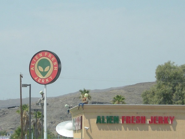
We stopped for gas in Baker, a wide spot in the road a few miles inside California, and home to the most piratically high price for gas we’ve paid the entire trip—$4.599 a gallon for regular! While we were stopped, M saw this sign, but I wasn’t sure they were really using fresh aliens so we didn’t get any.
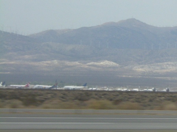
We ran southwest on I-15 to Barstow, then cut west and north on California 58, running along the north edge of Edwards Air Force Base, where the space shuttles used to land. Just beyond it, outside of Mojave, we saw the Mojave aircraft boneyard, or at least what there was to see of it from several fields away.
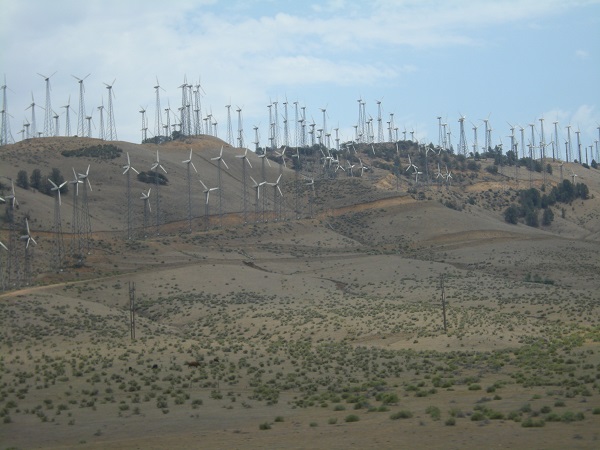
A few miles beyond that we passed through one of the most enormous wind farms I’ve ever seen. There were several hundred mills of various types and sizes scattered across the top of a ridge of hills. I don’t have any idea where the power they generated might have been going. That’s a pretty desolate part of the state.
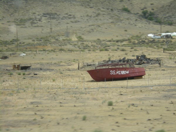
We also passed a relic of 1960s TV, now fallen on hard days.
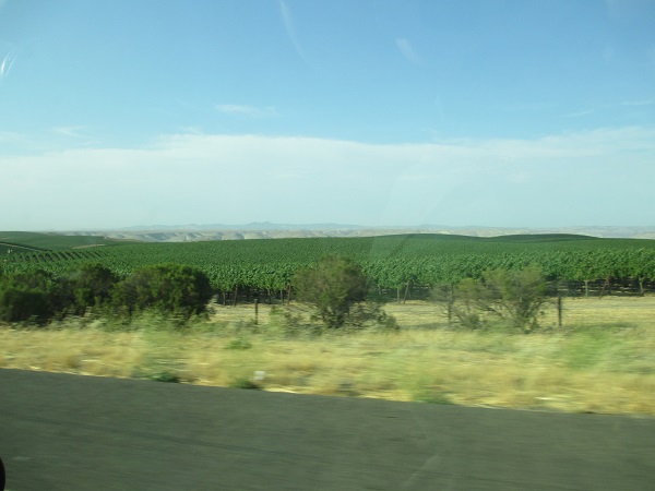
A quick stop for lunch at Tehachapi and we were gone again, reaching Bakersfield by early afternoon. At Bakersfield we saw the exit for Buck Owens Boulevard, but didn’t take time to stop. Instead, we ran straight west on 58 through fields of greens and almond orchards until we finally got to a wide spot called Buttonwillow, where we found another oil patch with many different sizes of pump jacks and several Chevron oil processing facilities that went on for a long ways.
Past Buttonwillow the road got worse, a lot worse. Up to now it had been two narrow lanes winding through wherever there was a low place. Now it started to climb, and climb and climb, throwing continual switchbacks and loops without any thought of a guard rail. There was just us, and the air, for several thousand feet worth of “up.” L, who was driving, continually shifted between second and third gears, having to go all the way to low once or twice. In the passenger seat, my vertigo was giving me the leaping willies from the views down into hundreds of feet of nearly vertical slopes. It went on for miles like that; four or five at least before we crested the last ridge and started down again.
We later learned that we had climbed the Temblor Range, at the foot of the San Joaquin valley. I hope I don’t have to go through a stretch that badly paved and routed ANYtime soon. L said it was payback for a time that I scared her pantsless in 1984, driving on a bad stretch of US 221 in the days before the last sections of the Blue Ridge Parkway were complete. You’ll have to imagine how steep it was for yourself. I was far too unnerved to take any pictures.
Over the hills, the road settled down to become a country highway that eventually turned us out on US 101 at Santa Margarita, in San Luis Obispo county. We picked that up and ran northward for a couple of hours through the blessedly flat California and Salinas valleys, going to ground for the night in Seaside, a suburb of Monterey, so we would be ready to visit the Monterey Aquarium on the Fourth.

3 Responses to Go west, young man: 2013 vacation, Day 5